
 Malta
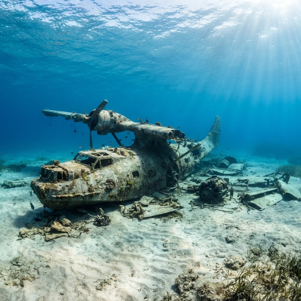
Dornier Wal XI
Gnejna Bay
- Depth
- ≈ 6–7 m to the wreckage
- Access
- Shore
- Type
- Aircraft
- Level
- Beginner-friendly
Reachable from the surface on one breath
Malta · Gozo · Comino
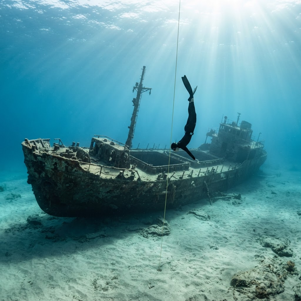
Discover historic shipwrecks, aircraft wrecks and underwater locations around Malta, Gozo and Comino through the world of freediving.
Depths and access checked against published sources — flagged where they disagree
Wreck directory
Filter by island, depth, access and suitability. Every card links back to the source it was checked against, and anything we could not confirm is marked rather than filled in.
Showing 9 of the wrecks in this first edition. Depths shown are the ranges published by the sources linked on each wreck — confirm on the day.
MaltaGnejna Bay
Reachable from the surface on one breath
 Malta
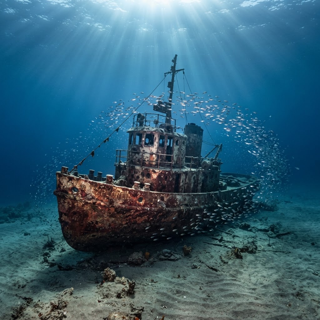
St Elmo Bay, Valletta
Shallow bow section — historic site, check rules first
MaltaManoel Island
Shallow end accessible, stern is far deeper
CominoComino
Upper deck within breath-hold range, boat access only
MaltaĊirkewwa
Too deep for recreational breath-hold diving
MaltaWied iż-Żurrieq
Deep tanker — not a freediving site
MaltaMarsaskala
Shore entry but 20 m+ — certified scuba depth
MaltaMarsaskala
20 m+ shore dive — scuba depth
MaltaMarsaskala
20 m+ shore dive — scuba depth
Wreck entries are for orientation and trip planning only. They are not dive briefings, and a depth range published by a dive guide is not a guarantee of what you will find on the day.
On the map
Only positions we could confirm are pinned — 6 of the wrecks listed above. Wrecks without a verified position are left off rather than plotted approximately.
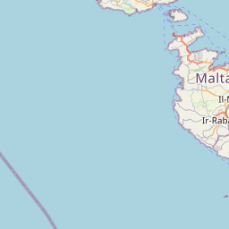
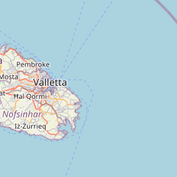








Positions from OpenStreetMap, or marked as reported where only a non-surveyed source publishes them. Chart datum and seabed positions can differ from what you find in the water — use them to plan, not to navigate.
Shallow & reachable
Most famous Maltese wrecks sit in 20 metres or more and belong to scuba. These are the entries where the published depth and a shore or boat approach put the wreck itself within reach — checked against the sources, not assumed from photographs.
Shallowest on the listFeatured · Malta
Gnejna Bay · ≈ 6–7 m to the wreckage · Shore access
A 1932 flying boat broken up on sand in the middle of Gnejna Bay — the shallowest wreck on this list and the one most realistic to see on a single breath.
Local schools
If you want supervised coaching or a boat to a wreck, these are the schools operating around the islands. Each opens their own website.
Freediving courses and training in Malta and Gozo, taught on the Apnea Total system.
Freediving centre running courses and guided training around Malta and Gozo.
Freediving instruction and courses in the Malta and Gozo area.
AIDA courses from beginner to master level, plus training and coaching.
Listed for information only. These are independent businesses — this is not a partnership, recommendation or endorsement, and their prices, availability and course standards are set by them. Freediving Malta is based in Gozo and is not affiliated with them.
Safety & conservation
Content sources
Every wreck on this page was assembled from published dive guides and heritage records, and each card links to the sources used for its depth and access notes. Where two sources disagree — the Dornier Wal depth is the clearest example — the disagreement is shown rather than resolved by picking the friendlier number. Nothing has been estimated to fill a gap, and wrecks without a confirmable position are left off the map.
A dive guide's depth refers to the site as its authors found it: structure shifts, sand moves, and a wreck that reads as 20 m in one season can sit deeper or shallower for you. Treat the numbers here as a planning starting point and get a current site briefing from a local centre or instructor before you dive.
Sites such as HMS Māori form part of Malta's protected underwater cultural heritage and are managed by the Underwater Cultural Heritage Unit at Heritage Malta. Access, anchoring and any handling of objects are governed by those rules — not by what is technically possible underwater. Artificial reefs are treated differently from historic wreck sites, and both are different from a marine protected area, where additional restrictions can apply.
Malta's harbours and the Comino channel carry constant commercial traffic. Local maritime notices from Transport Malta and a look at the day's conditions are part of planning a session, not an optional extra. If you are diving from a boat, the skipper's briefing overrides anything written here.
Underwater Malta virtual museum · Heritage Malta UCHU · Manic Malta shipwreck diving guide · Malta Diving dive sites · EPF Malta diving · Deep Passion Freediving — Gnejna. Positions from OpenStreetMap contributors.
Explore more
How we run the line, call a dive, and read the day's weather.
VisitDepth, equalisation and rescue skills before you plan a wreck session.
VisitOne-to-one sessions if you want to build depth gradually.
VisitOur home sites, visibility and conditions through the year.
Visit